Multi-fidelity Airspace and Platform Simulation
1 Context
Many studies within the UK, and internationally, aim to expand the use of drones as well as other forms of un-piloted aircraft such as urban air mobility aircraft. Such studies generally build on existing infrastructure but rarely become part of that infrastructure due to the lack of priority in research towards production of high quality documentation and tutorials.
Building on the work laid out by the SEEDPOD initiative, MAPS intends to provide a collaboration hub for CASCADE, bringing together simulation works developed by CASCADE partners in a holistic repository. By consolidating the works into a shared space, MAPS aims to produce a useable toolset which persists beyond the lifespan of CASCADE and is accessible to developers, pilots and researchers outside of the project.
MAPS will act as a hub, or catalyst, for collaboration both internally and externally to CASCADE. One notable aspect of collaboration is to provide support for PhD students at different partner institutes, who typically have little visibility of each other’s work. The change in working practices due to Covid-19 has also motivated development of innovative ways of enabling remote collaboration between partners on simulation projects. MAPS takes advantage of highly sophisticated game development environments that can be repurposed to develop immersive ‘multiplayer’ simulations. Documentation, tutorials and workshops are included in MAPS to ensure that newly developed tools and unfamiliar development environments may be introduced to collaborations effectively and efficiently.
2 Aims
The goal of MAPS is to produce a comprehensive, documented, and open source repository for the simulation tools developed within CASCADE which persists beyond the project. As well as to make use of emerging real time simulation capability, originally developed for games, to enable simulation of large numbers of drones in 3D environments.
MAPS will be used primarily to facilitate collaboration within CASCADE by providing a documented index for the simulation works of the project. Documentation may be in the form of videos, tutorials or explanatory text. Part of the collaboration will draw on emerging real time, 3D simulation capabilities to develop a multi-fidelity airspace simulation tool which provides significant insights into spatial aspects of simulation results.
3 Real Time Simulation – Game Engines
Game engines, such as Unity and Unreal Engine, represent hundreds of man-years of software effort aimed at fast, high fidelity, physics-based 3D graphics animation. Such capabilities may be used in research efforts to study large numbers of drones with high spatial fidelity. MAPS particularly focuses on the use of Unity due to the ease of access for new users, the significant documentation and community available, and the existing expertise within CASCADE.
A common feature in video games, multi-user development support is included in most game engines and may be leveraged to provide access to large simulations or live training sessions for researchers across the globe.
A major focus in game engines is the development of 3D environments and graphics simulations. As such, these engines provide superior flexibility in probing such spatial simulations, allowing for multiple cameras to move freely within the space either on dolly tracks or controlled by users. This gives exceptional insight into problems such as drone pathing, collision avoidance and flight training.
Modern game engines enable development for various platforms, including mobile phones and virtual reality hardware. This gives easy access to the use of augmented reality and virtual reality for research and outreach purposes.
4 Facilitation of Collaboration
MAPS incorporates the agile approach to development, specifically the use of regular meetings and fast, flexible prototyping to generate ideas and discussions about shared work. The use of game engines and the many development tools they provide allows for quick prototyping of tools and collaborative environments. This is essential to collaboration as it provides a medium of communication between collaborating parties which relays information in a more efficient manner than text and discussions alone.
5 Collaborations
Case studies within CASCADE involve the use of aerial robotic systems to either: observe, interact with, or transport a system. Research outcomes include the determination of the risk and reliability of such operations and demonstration of the utilities of such systems and their operations. MAPS intends to build on or merge such studies to augment or broaden the research outcomes of such studies within CASCADE.
5.1 SEEDPOD (Soton)
The SEEDPOD initiative aims to augment physical trials and case studies of drones by helping to guide policy makers and regulators by providing a detailed, realistic and wide-ranging simulation capability that can help quantify the risks and impact of a significant expansion of drones and other aerial robots in the future.
MAPS seeks to broaden the capabilities of SEEDPOD by enabling communication between SEEDPOD simulation models and Unity. This communication extends the utility of SEEDPOD’s ground risk modelling by combining the simulation with other models such as agent-based drone simulation models designed to observe drone network behaviours.
5.2 Flight Log Visualisation (Soton)
Many physical case studies are carried out as part of CASCADE and many other drone research projects. This generates a wealth of data through the collection of flight logs. MAPS provides the tools to visualise these logs in Unity, allowing for virtual reality rendering of scenes with numerous flights playing out. Further work may allow for multi-user interactions in such scenes, enabling remote live training sessions for pilots and researchers across the world. The fast prototyping enabled by Unity allows for trails of novel visualisation approaches for flight logs, giving researchers the adaptive development environment to explore new ways of assessing recorded flight data.
5.3 De-Centralised Drone Behaviour Modelling (Manchester)
MAPS has been used to explore the interactions of large numbers of drones flying in close proximity. This has allowed pioneering work to be undertaken to demonstrate efficient three-dimensional flow patterns (we have called “octabouts”) to create safe and free-flowing aerial junctions. MAPS has also been used to show the positive effect of giving drones “good airmanship” behaviour. For example, experienced manned aircraft pilots are encouraged to follow the “semi-circular level system” when flying in uncontrolled airspace in the UK. This segregates aircraft into layers depending on their heading. Analytical studies using MAPS have shown that this principle has a significant “airprox” safety benefit if applied to drones.
The use of agent-based drone simulation in MAPS has also been used to explore the behaviours of drone networks for delivery use cases. Virtual reality renders of the simulation enables the study of possible social impacts of using drones for various levels of demand in delivery applications. The agency of the drones is also varied to allow investigation of the implications of using de-centralised vs centralised control schemes for large networks of drones.

5.4 Forest Environments (Imperial)
Monitoring of forest ecosystems is an important aspect of climate preservation. Imperial College London are investigating the use of drones to extend sensing capabilities in difficult to reach areas, such as the Amazon rainforest. MAPS provides high quality visual rendering of forest environments as well as 3D models for testing of obstacle avoidance methods. This enables safe experimentation of novel control methods as well as a penalty-free mission rehearsal tool. Additionally, rendered images of the environment may be used as a heuristic for classification methods as simulated trees may be rendered to look diseased.

5.5 Dynamic Data Visualisation (Manchester external)
The utility of game engines is explored by many researchers at Manchester, including those in the field of biomechanics. MAPS enables collaboration and sharing of data and information between CASCADE and such external parties. MAPS provides tools to render the results of dynamic simulations of biological systems, such as birds. The visualisation of such results provides further fidelity to the environments of maps as well as the potential to combine behaviour ecologist data with drone simulation models.
5.6 Documentation, Tutorials and Workshops
The provision of documentation and tutorials for the tools presented in MAPS will aid access for external parties who may be unfamiliar with the tool development. All tools and documentation will be provided as open access via GitHub (https://github.com/CASCADE-MAPS/MAPS) with tutorials hosted on YouTube (dedicated account coming soon – requires mobile number for creation).
Workshops will be held within CASCADE to provide information to partners, including PhD students. The workshops will help to encourage collaboration as well as providing information about the utility of tools under development in the project which may not otherwise have sufficient awareness.
5.7 E-Drone Collaboration (External EPSRC)
An externally funded EPSRC project, E-Drone, will collaborate with CASCADE and the virtual reality tools of both projects to investigate the social impacts of drone delivery strategies in the future. The collaboration also opens the potential for outreach at festivals where virtual reality demonstrations may be shown to members of the public to engage with social concerns about the use of drones in urban settings.
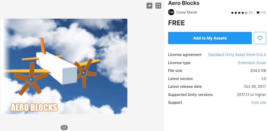
5.8 Aeroblocks (Manchester)
An existing Manchester-produced aerodynamic simulation tool will be further developed for use in modelling of various aerodynamic components, such as modular wings and approximations of drones, foliage and debris, birds etc.